

At a glance
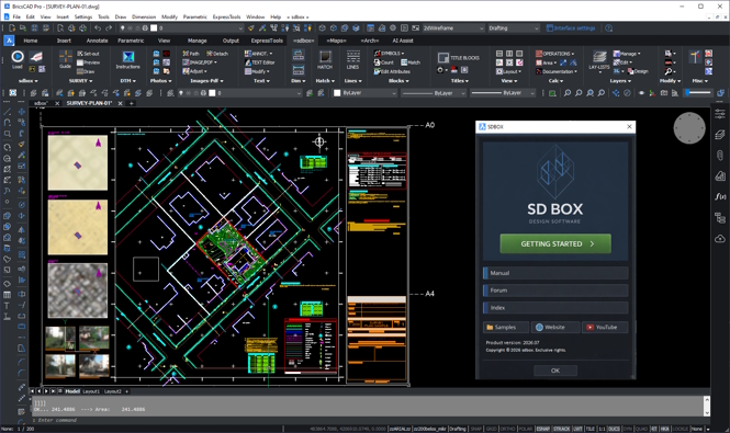
Key features
Survey drawings, property plans, symbols, boundaries, tables, legends, statements, declarations, title blocks and final output.
Point import, coordinate tables, calculations, operations, editor and draw by codes.
Triangulation, breaklines, contours, longitudinal profiles, cross sections and cut & fill calculations.
Coordinate documentation, axis geometry, labels, check and reference points and field deliverables.
KML, KMZ, SHP, DXF, JSON/GeoJSON and GeoTIFF workflows.
Online map backgrounds, georeferenced images, orthophotos and spatial data integration.
Floor plans, sections, elevations and as-built technical drawings.
Texts, symbols, blocks, dimensions, hatches, layers, annotations and drawing cleanup.
One-click PDF output, plotting tools, pre-set CTB pen tables for all scales and technical deliverables.
Area and length calculations, arithmetic with text and block values, geometry analysis, counting, data extraction and batch drawing operations.
Where SDBOX is used
How SDBOX fits into the drawing process
SDBOX can enter the process at different points. A project may start from survey points, an existing CAD drawing, a map background, a geospatial file, a raster reference or third-party design data.
Start from a CAD drawing, survey point file, map background, geospatial file, image reference or existing project data.
Use the relevant SDBOX workflow: survey drafting, DTM, contours, profiles, sections, maps, set-out, building survey or CAD production support.
Review, check and edit generated objects directly inside the CAD drawing.
Complete the drawing with scale-aware texts, symbols, dimensions, hatches, tables, legends, notes and title blocks.
Plot, export or deliver the final result as a print-ready drawing, PDF or exchange file.
Complete topographic and property plan drafting
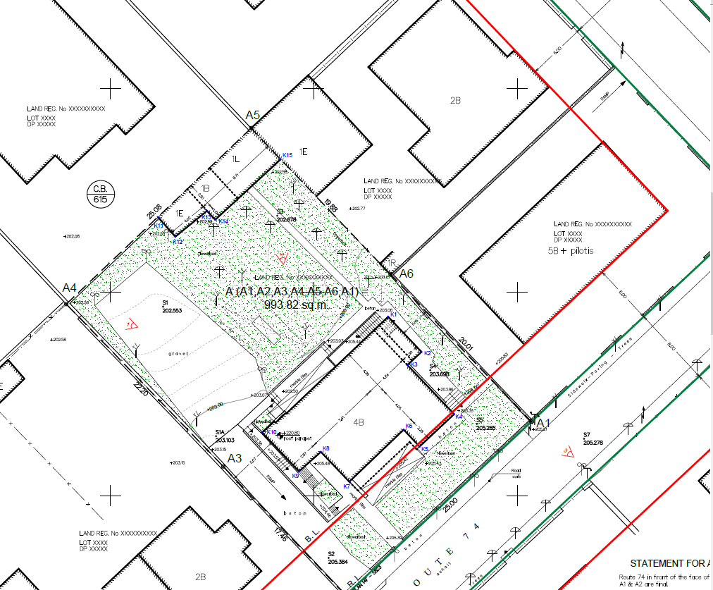
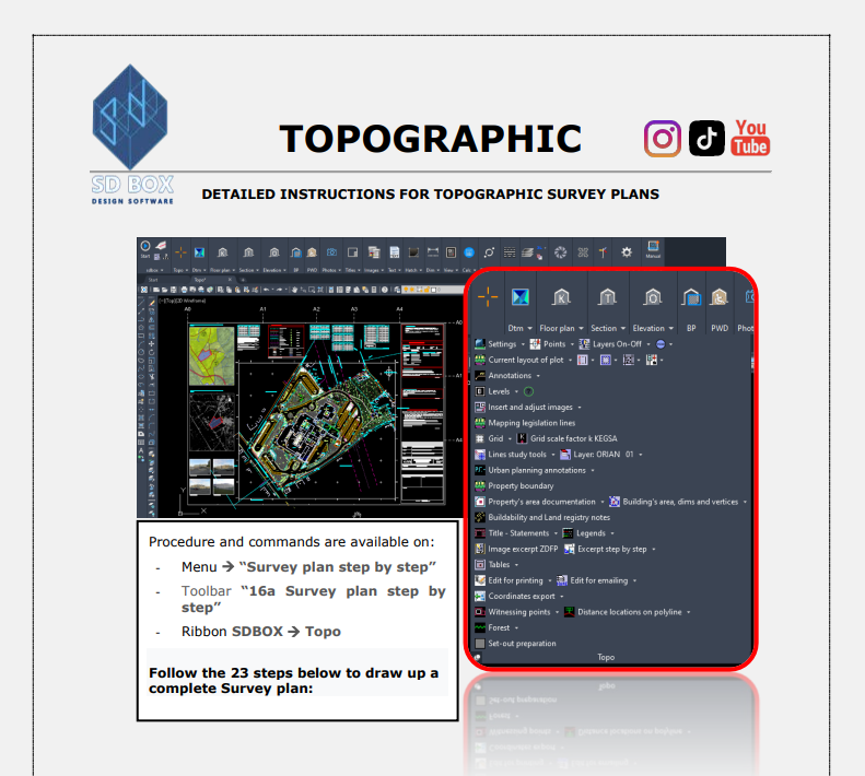
SDBOX supports complete topographic and property plan drafting from survey point import to final print-ready output. It includes tools for existing conditions, building identification, terrain and area hatches, cartographic symbols, annotations, elevation levels, reference grids, planning and regulatory lines, boundaries, property documentation, coordinate tables, ready-to-use title blocks, declarations, print layouts, coordinate export and chainage/stationing.

Digital terrain model, contours, profiles, sections and volumes
SDBOX creates terrain models directly from the same survey points used for plan drafting, with no separate 3D point import. No project or predefined surfaces are required: each terrain can be created and edited directly inside the CAD drawing whenever needed. Tools include TIN generation, breaklines, triangle editing, contours, longitudinal profiles, cross sections and cut & fill volume calculations.
Online maps, georeferenced images and GIS/CAD exchange
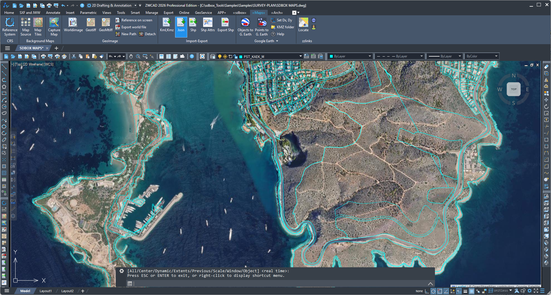
SDBOX provides direct access to background maps, Google Earth workflows, coordinate conversion tools, SHP and JSON spatial data import/export, world-file and GeoTIFF image workflows, KML/KMZ import with folders, colors and labels, Google Street View integration and georeferenced image processing. It is useful both for surveying practice and for spatial checking, visualization and data exchange.
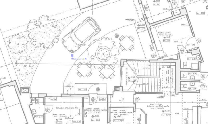
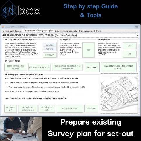
Set-out drawings with coordinates and axis geometry
SDBOX can prepare controlled set-out drawings from third-party CAD designs, existing survey plans and design geometry. The workflow includes existing marks and control points, set-out point preparation, coordinate documentation, checking dimensions, labels and print-ready documentation for site implementation and field verification.
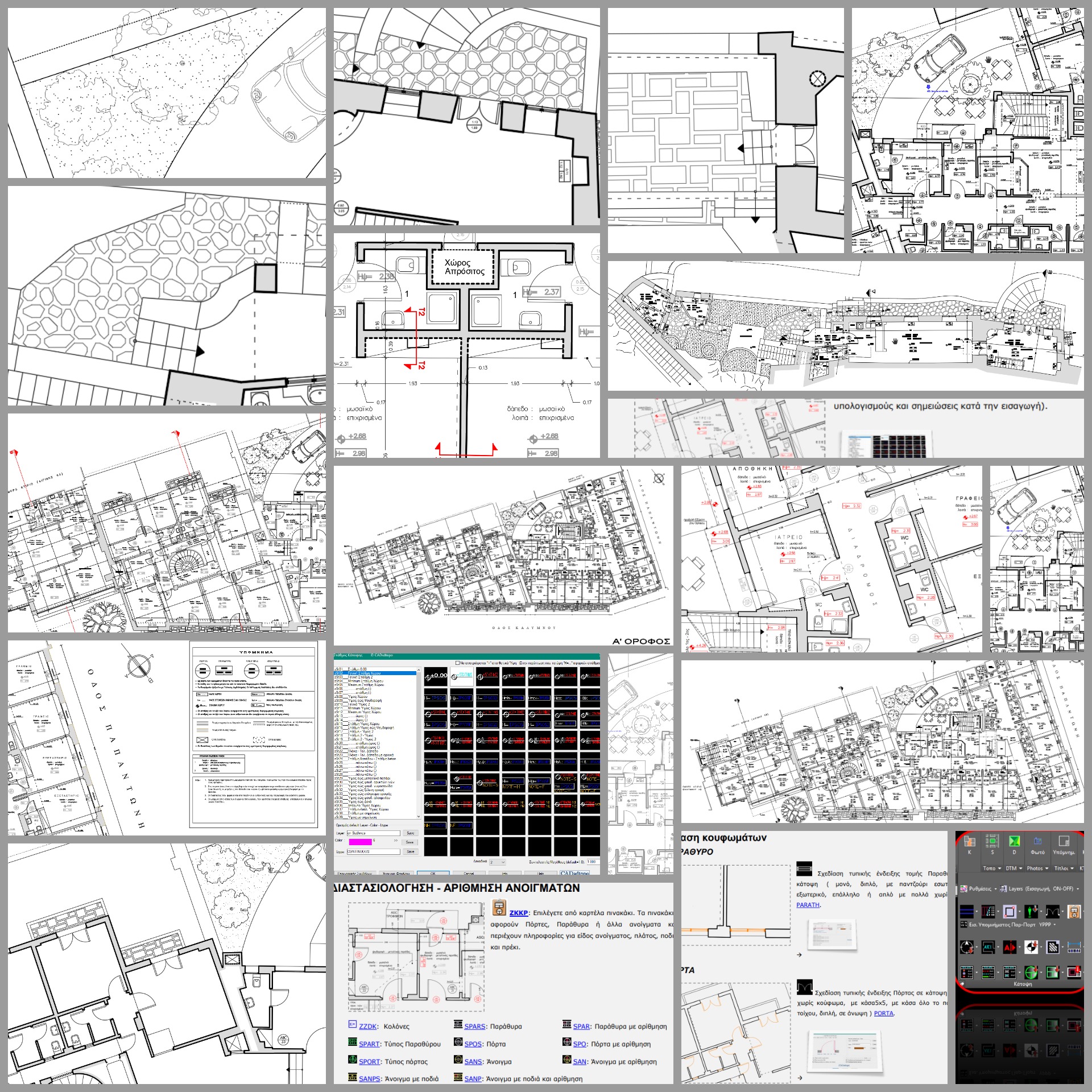
Building survey floor plans, sections and elevations
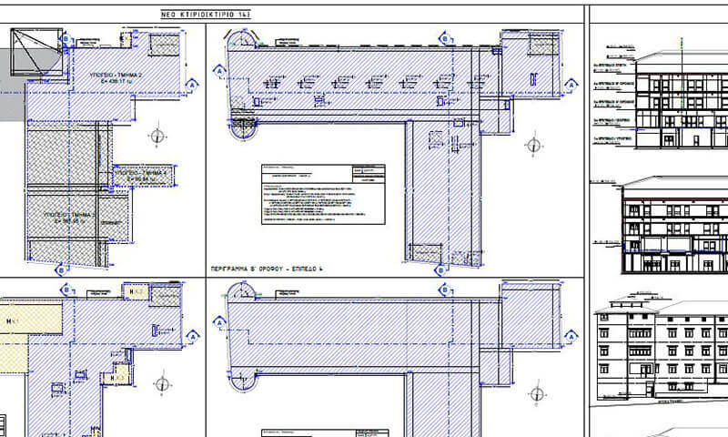
SDBOX includes a complete workflow for drafting building survey and as-built floor plans quickly and consistently. Drawing elements such as texts, symbols, tags, dimensions, hatches, titles and notes are inserted with scale-aware sizing. Tools cover layer creation, single-level or multi-level plans, filters and LMAN setup, section/projection lines, stairs, arrows, architectural symbols, doors, windows, opening tags, levels, dimensions, legends and one-click PDF output.
Sections and elevations can be drafted directly from floor plans, with Xref-based workflows, split-screen drafting, level markers, height references, generated doors/windows, hatches, symbols, notes and dimensions.
Scale-aware CAD productivity tools
SDBOX also includes a wide range of scale-aware CAD productivity tools for everyday technical drawing production.
Annotation types, usage indicators, notes, headings, editor, alignment and bulk text management.
Scale-aware dimensions, offsets, angles, azimuths, radii, centers, path lengths and editing tools.
Hatch patterns automatically scaled to plot scale, including terrain, textures, walls, floors and sections.
Drawing, editing, conversion, length handling, line legends and predefined line types.
Scale-aware symbols, numbering, attributes, counting, tabulation, xrefs and symbol legends.
A4–A0 layouts, project base info, short descriptions, declarations, notes and legends.
Layer isolation, visibility, object transfer, filters, colors, lineweights and layer legends.
Bulk modifications, filters, replacements, scale adjustments, cleanup and object editing.
Path updates, optimized insertion, true-dimension scaling, image labels and batch management.
High-quality plotting, CTB pen tables for all scales, PDF generation and DXF export.
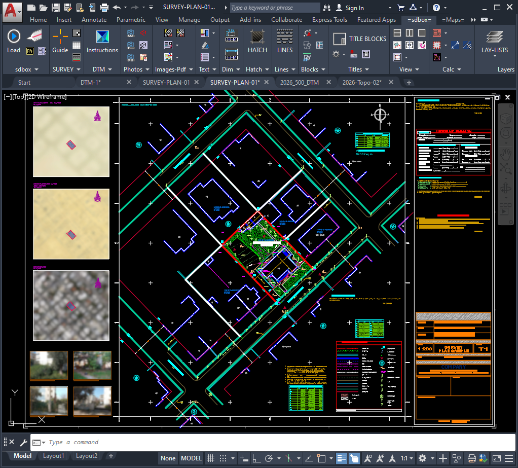
01 — Survey Plan
Complete topographic and property plan drafting, from survey information to formatted technical output.
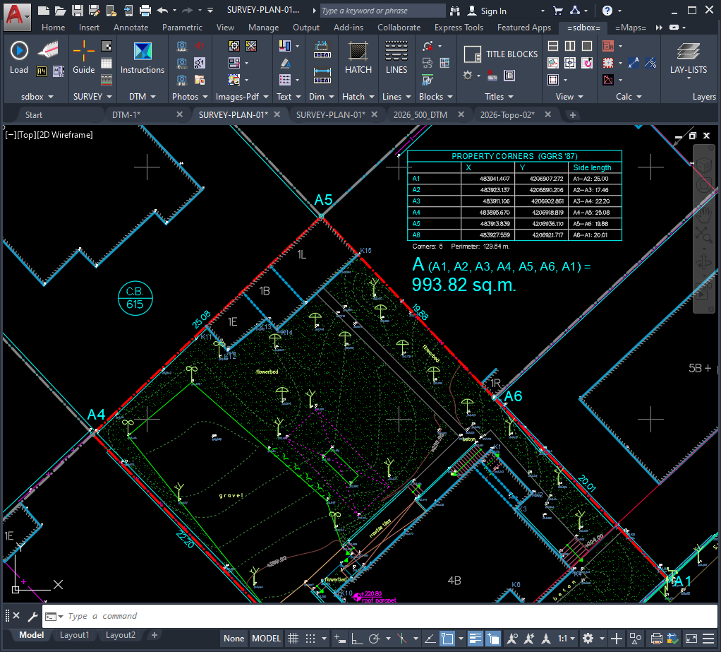
02 — From Survey Data to Final Drawing
A broader view of how point data, drafting tools, annotations and layout components come together in one drawing workflow.
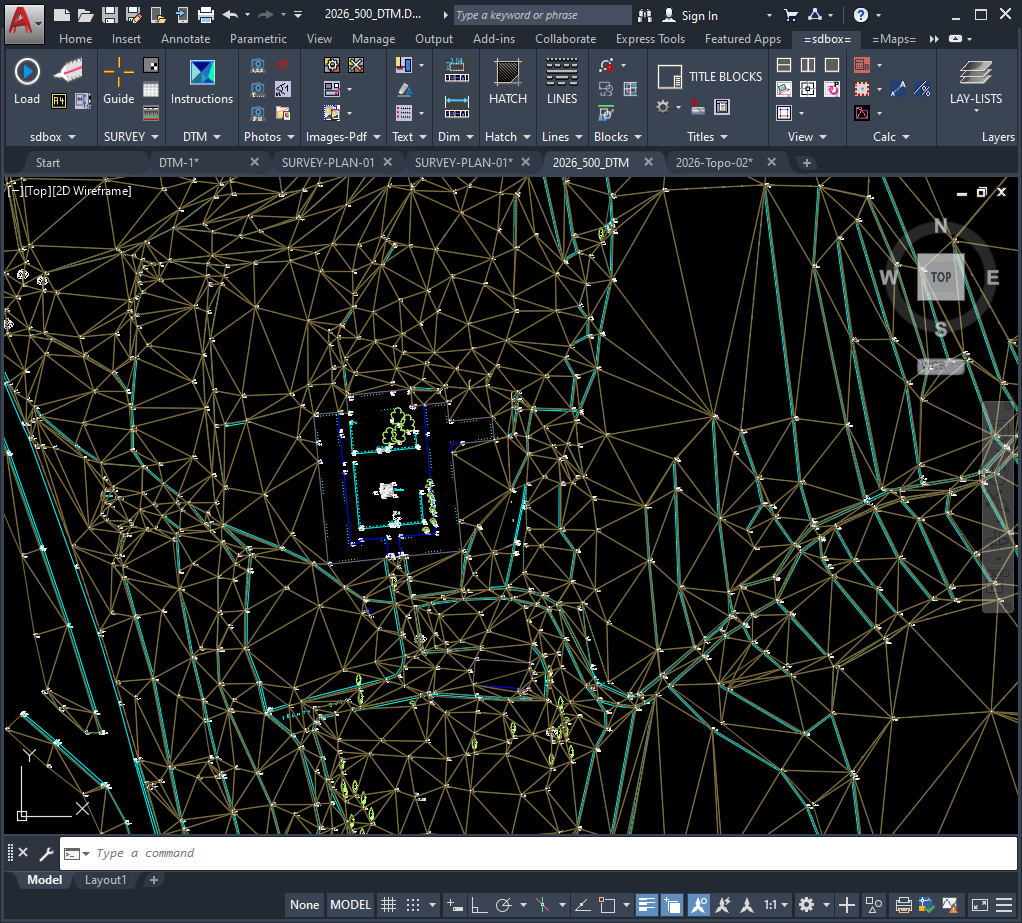
03 — Terrain Model
TIN creation and terrain editing directly inside the CAD drawing.
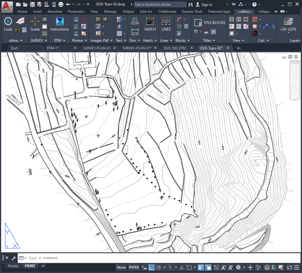
04 — Contours
Contour generation, refinement and drawing output from terrain data.
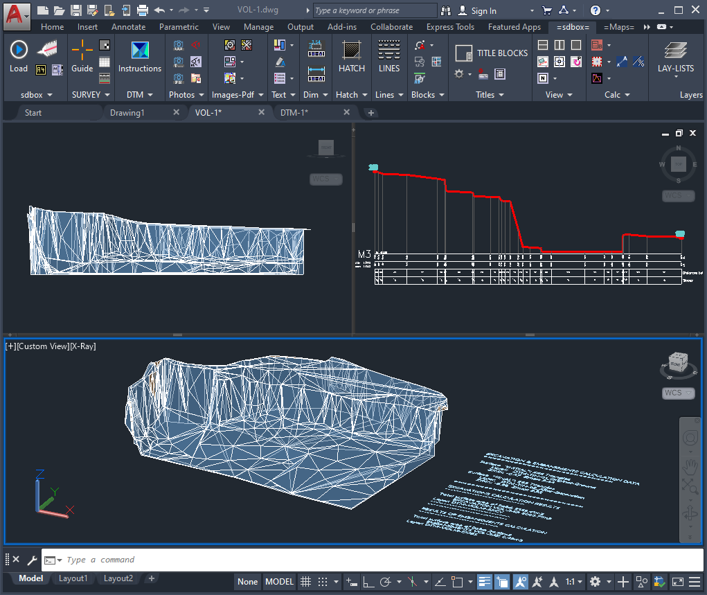
05 — Profiles, Surfaces and Cut & Fill Volumes
Longitudinal and cross-section style terrain outputs together with earthwork calculations.
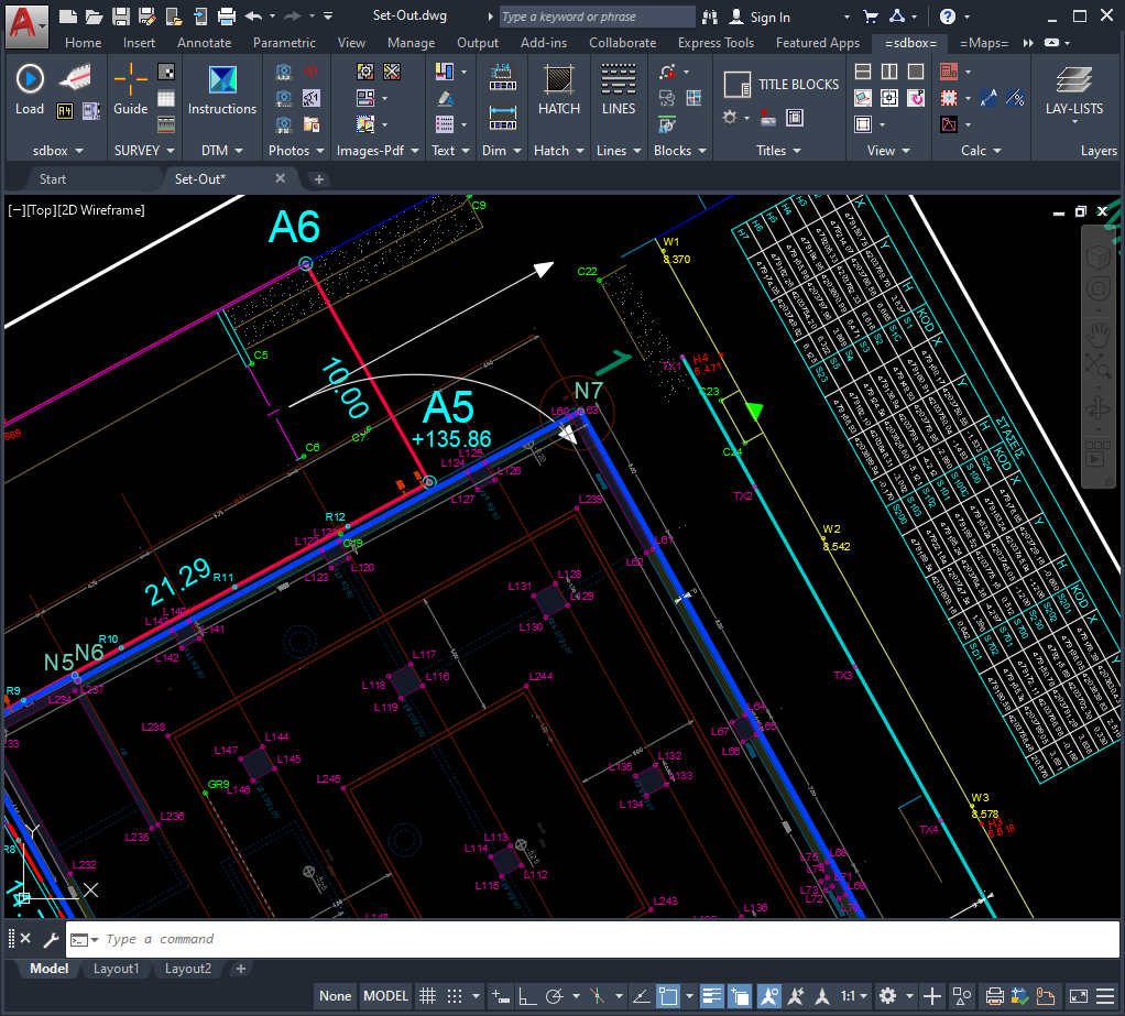
06 — Set-out Plan
Controlled set-out documentation with coordinates, labels and implementation references.
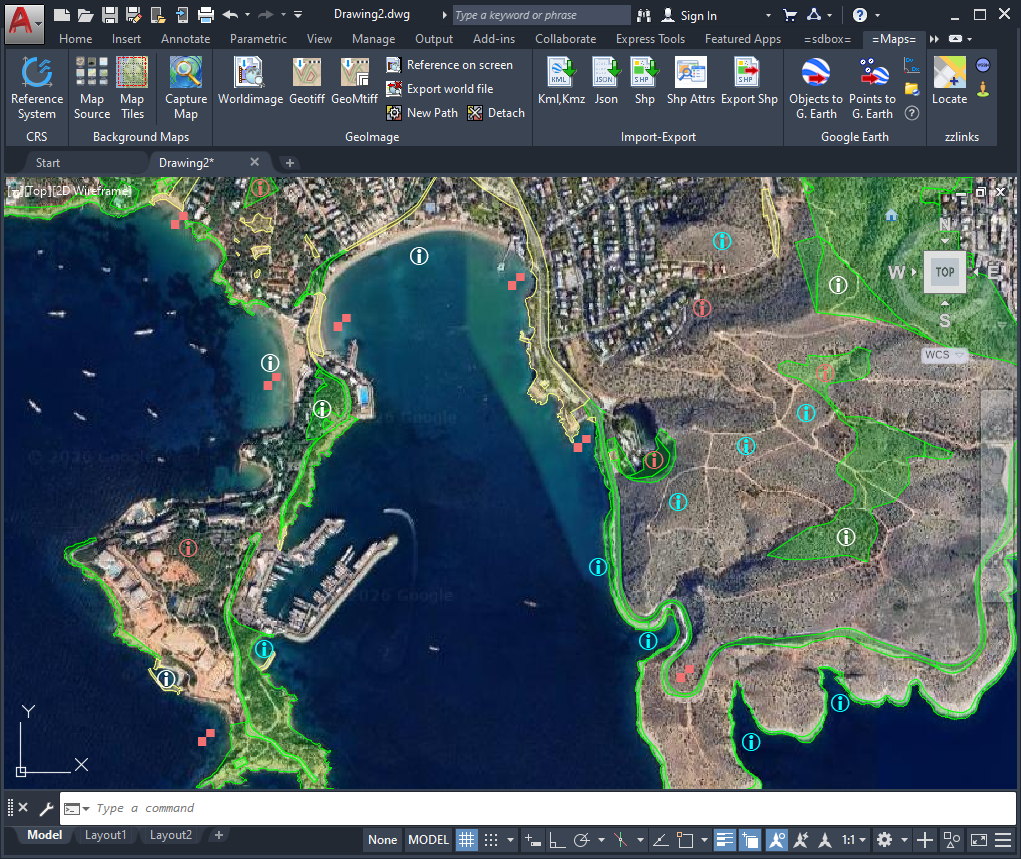
07 — Spatial Data and Map Workflows
Spatial data overlays, thematic information and geospatial workflows inside CAD.
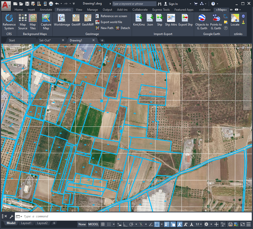
08 — Map Backgrounds
Background imagery and reference maps placed directly in the drawing space.
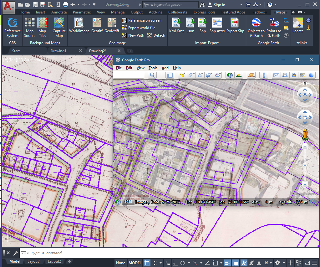
09 — Google Earth Integration
Google Earth related workflows for context, checking, export and visual communication.
Installation, disk space and uninstallation
SDBOX Trial is installed using the installer for the selected CAD platform. The main program folder requires approximately 100 MB, while the shared C:\sdbox_Tools folder requires approximately 3 GB of free disk space.
During installation, the main SDBOX files are installed first and the larger auxiliary files are then downloaded in additional installation windows. Internet access is required during installation and updates. The installer also checks for the latest available SDBOX version. After the first successful installation, SDBOX loads automatically with CAD and future updates are performed automatically.
To uninstall SDBOX, first run the SDBOX uninstallation procedure from inside CAD and then remove SDBOX from Windows Apps / Installed Apps.
Interrupted download. If the auxiliary-file download is interrupted, it can be resumed at any time by running zzDownloadZips.exe from the SDBOX installation folder.
If the embedded player is unavailable, watch the video directly on YouTube.
Evaluate the complete product and keep full control of your drawings
The same SDBOX installation is used for trial and licensed operation. Users install the trial first; after purchase, the license is activated without requiring a different program installation or a second setup package.
The trial is not a reduced-feature demo. It provides the same SDBOX commands and workflow capabilities as the purchased software, so the evaluation reflects real production use.
If the trial expires and no purchase is made, everything already created remains in the drawing as normal CAD content. The drawing can still be opened, edited, continued, plotted and exchanged; only the SDBOX commands are no longer available.
SDBOX is sold as a one-time purchase. There is no annual subscription.
The purchased version is protected by a USB Token. SDBOX may be installed on as many computers as needed — at the office, at home or on a laptop — but one license operates on one computer at a time: the computer where the token is connected. The token can be inserted or removed while CAD remains open.
Includes the Basic CAD productivity tools plus complete survey plan drafting, digital terrain modeling, Google Earth and maps, georeferenced data and GIS/CAD exchange.
Includes everything in the Survey edition and adds building survey floor plans, sections and elevations, together with set-out preparation and field documentation tools.
For the best experience and full functionality, BricsCAD, GstarCAD and ZWCAD work best in recent full versions, while progeCAD is supported from version 2026 onward. A full CAD edition is required; Light or Standard editions are not intended for full SDBOX functionality.
Guides, videos, workflows and policy links
Step-by-step guides, videos and workflow examples are available online. This Product Overview does not replace the Contents and Samples sections; it summarizes the product in one structured page and points to the detailed resources.
Overview, editions, downloads, purchase and contact.
Detailed categories, tools and workflow families.
Drawing samples and example outputs.
Help and videos by category.
Workflow videos and product demonstrations.
SDBOX publisher privacy policy.
Product information, trial evaluation or reseller cooperation
SDBOX Design Software
ENCON S.A.
5 Syngrou Avenue, Athens 117 43, Greece
Email: cad@sdtopo.net